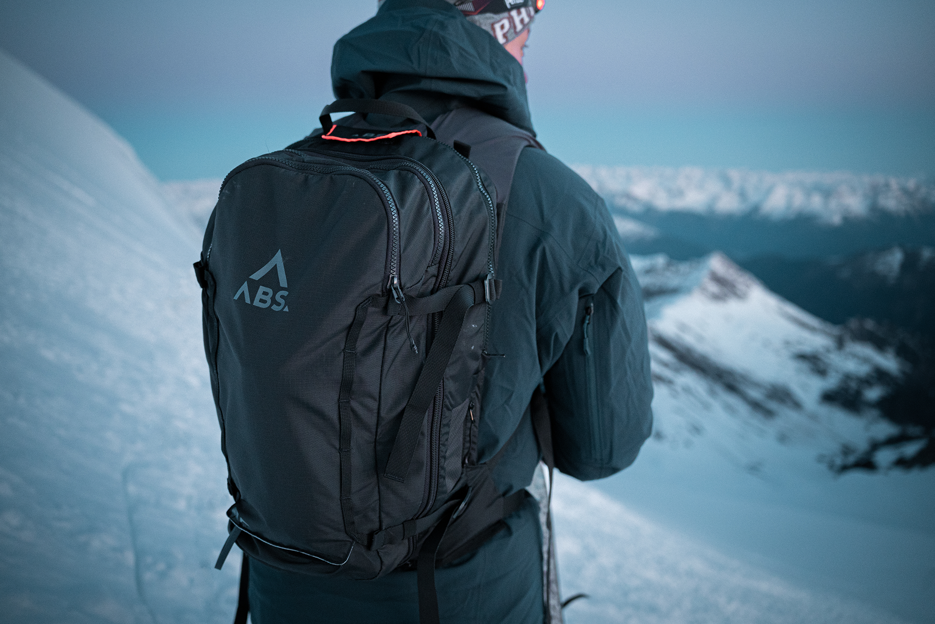
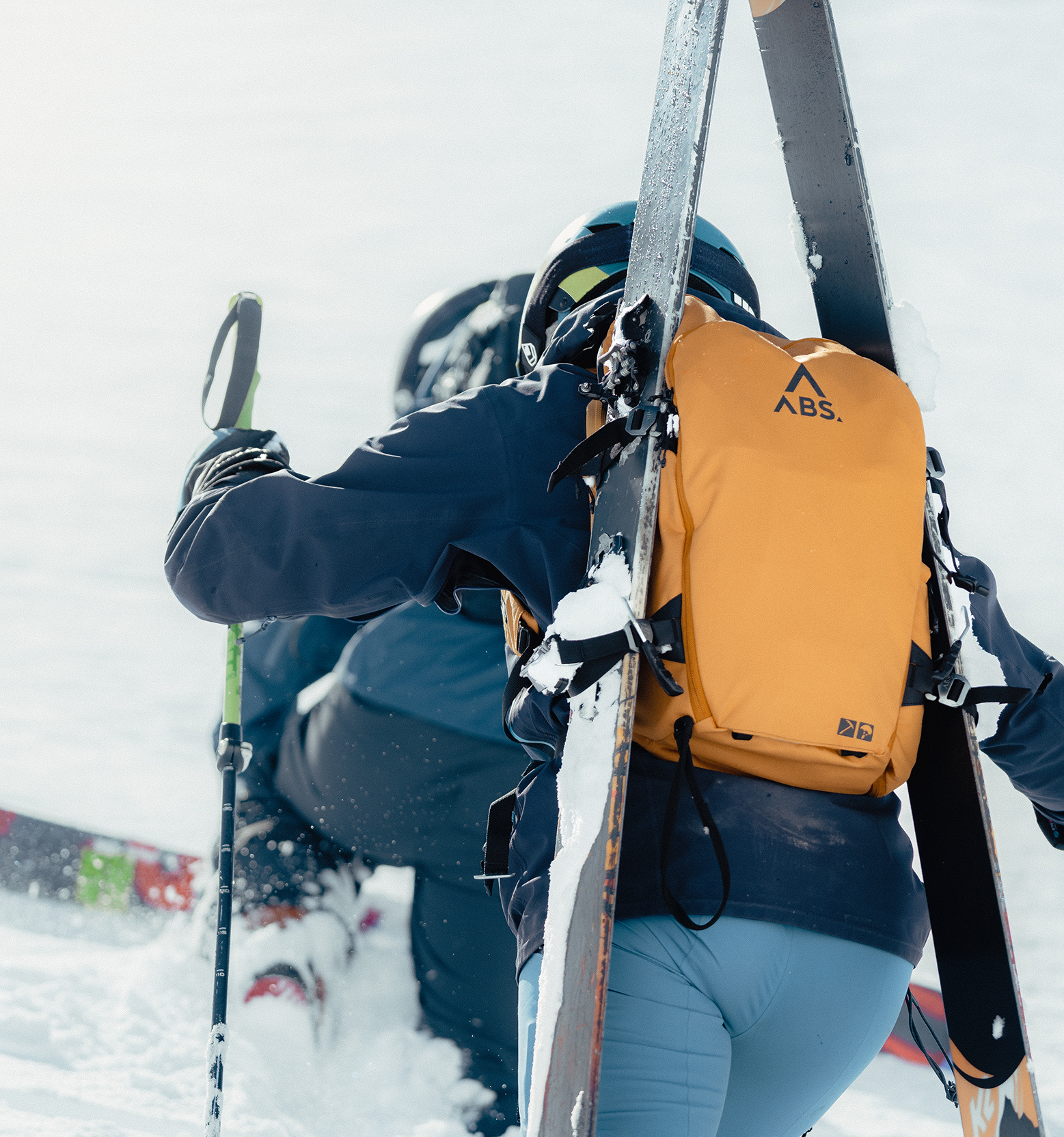
Make both sticks the same length. Place a stick in the snow with the handle first facing down the valley. Use the handle to lift the pole, but don't pull it completely out of the snow - the tip will remain stuck in the same spot. Now the second stick comes into play: bring both sticks together with the handle. Let the second floor swing and let its tip touch the snow surface. If the tip of the stick reaches exactly the end of the footprint of stick 1, you can assume a slope of around 30°. If the slope hits the snow below the marking, the slope is steeper than 30° - 10cm corresponds to approx. 3°!
With the card
Using a topographic map, the slope gradient can be derived from the contour lines. To do this, the distances between the meters in altitude must be measured - the narrower these are, the steeper the terrain.
With the cellphone
In some apps you will find a built-in inclinometer, altimeter and compass.
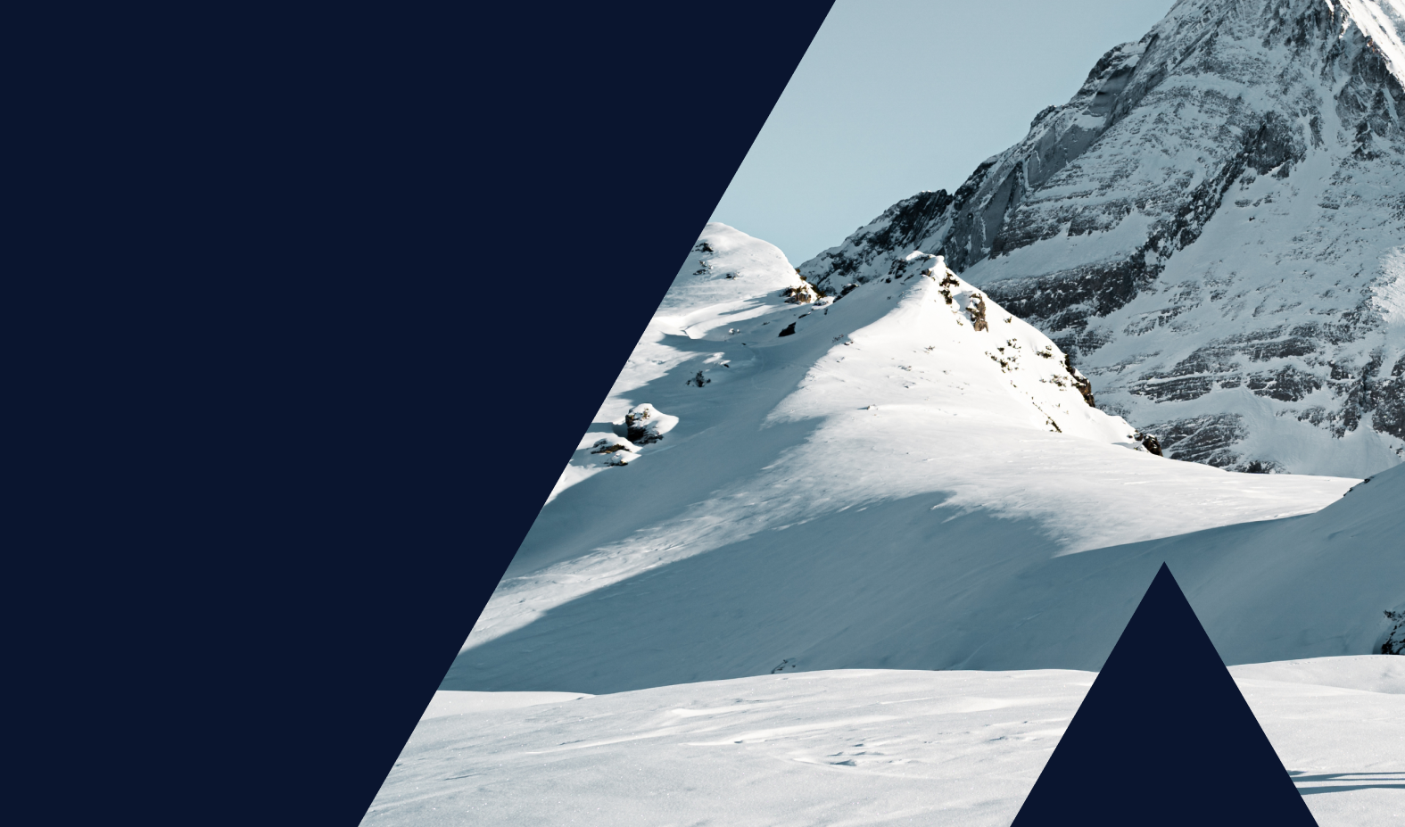
Hairpin bend and rock breakthrough
Rule of thumb: If hairpin bends are necessary, you can assume that the slope is steeper than 30°. If the slope is riddled with rock, the slope is usually steeper than 39°.
Wir verwenden Cookies. Viele sind notwendig, um die Website und ihre Funktionen zu betreiben, andere sind für statistische oder Marketingzwecke. Mit der Entscheidung "Nur essentielle Cookies akzeptieren" werden wir Ihre Privatsphäre respektieren und keine Cookies setzen, die nicht für den Betrieb der Seite notwendig sind.
Essenzielle
Statistik & Marketing
Alle akzeptieren
Nur Essentielle Cookies akzeptieren
Individuelle Cookie Einstellungen
Speichern & schließen
Essenzielle
Essenzielle Cookies ermöglichen grundlegende Funktionen und sind für die einwandfreie Funktion der Website erforderlich.
Informationen anzeigen
Statistik & Marketing
Marketing-Cookies werden von Drittanbietern oder Publishern verwendet, um personalisierte Werbung anzuzeigen. Sie tun dies, indem sie Besucher über Websites hinweg verfolgen.